
Services
ABOUT
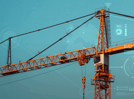
Construction & Infrastructure
A Construction & Infrastructure Survey is a specialized geospatial and engineering assessment that supports the planning, design, and execution of construction projects. It involves collecting accurate data on terrain, structures, and site conditions through ground surveys, aerial mapping, and advanced geospatial technologies.
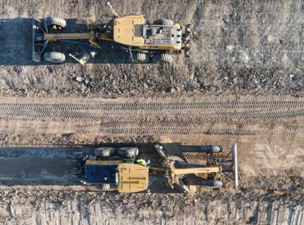

Our Construction & Infrastructure Solutions provide advanced geospatial and engineering support to ensure construction projects are planned, executed, and monitored with precision. We combine surveying, mapping, and data analysis to optimize site layouts, track progress, and manage resources effectively for roads, bridges, buildings, and other infrastructure projects.
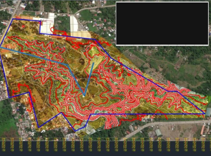
Through innovative geosolutions, we help clients minimize risks, maintain regulatory compliance, and enhance overall project efficiency and ensures every development is built on a foundation of accuracy and insight.