All Kinds of Surveys and Mapping
Our team ensures accurate boundary identification, topographic mapping, and detailed land data essential for development, design, and planning projects.

At Tecphil Surveying and Mapping Services, we provide precise geospatial solutions for construction, land development, engineering, infrastructure, and government projects.
Our team ensures accurate boundary identification, topographic mapping, and detailed land data essential for development, design, and planning projects.
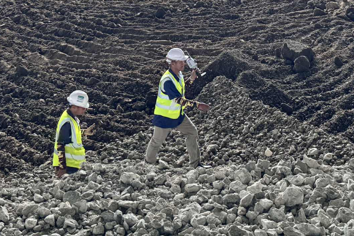
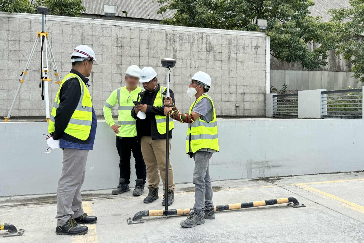
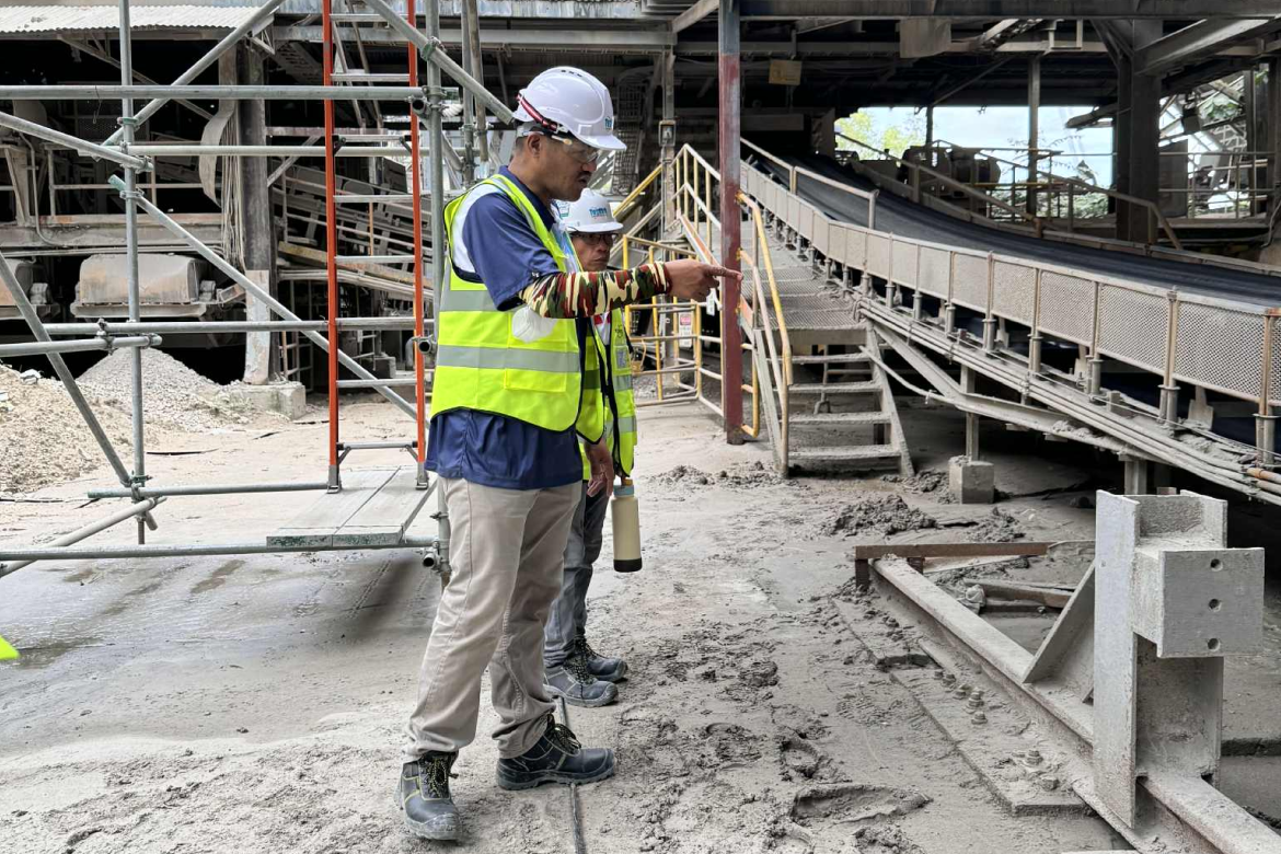
Our engineering surveys deliver critical measurements and elevation data that guide engineers and contractors through every phase of infrastructure development.
Our process ensures safety, compliance, and reliability by assessing current conditions and supporting renovation or expansion requirements.
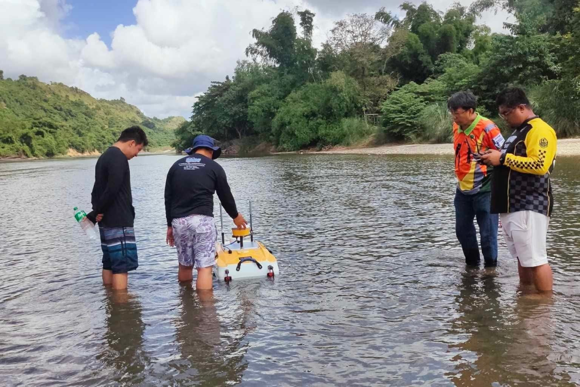
Our hydrographic and bathymetric surveys map seabeds, rivers, and lakes with precision, providing essential data for coastal engineering and marine navigation.
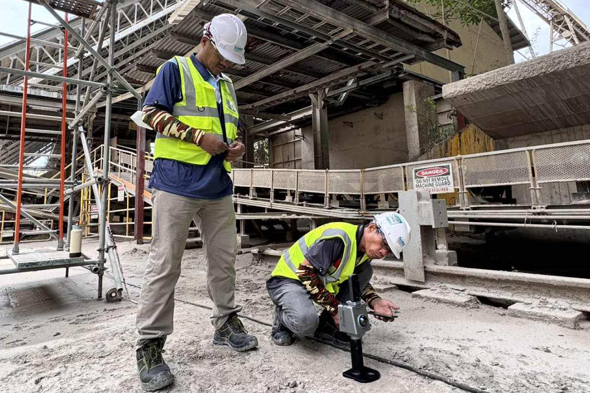
From layout to verification, our surveys ensure every structure aligns perfectly with design plans and technical specifications.
We design customized surveying solutions to meet specific client needs. We deliver innovative results that adapt to complex environments and unique project goals.
We conduct a full range of land and infrastructure surveys providing accurate, efficient, and data-driven results for every project.
Provides detailed mapping of land elevations, features, and terrain used for design and land development.
Our team specializes in route alignment and profile surveys to support the design and construction of infrastructure projects.
Measures underwater depths and seafloor features to produce detailed maps for marine and coastal development.
Divides large parcels of land into smaller lots in accordance with development plans and government land regulations.
Measures and maps underwater features, depths, and tides to support ports, bridges, and coastal infrastructure planning.
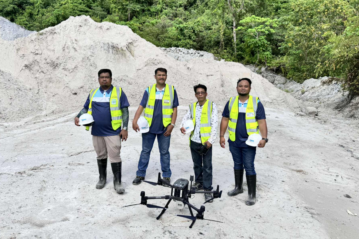
Captures aerial images and surface data using drones to produce high-resolution maps for analysis and project planning.
Transfers design plans to the field with precision, ensuring correct positioning and elevation of structures on-site.
Records the actual location and elevation of completed works to verify compliance with approved design specifications.
Provides accurate mapping and elevation data for efficient land-use planning, farm layout, and development projects.
Whether it’s land development, infrastructure, or engineering projects, our team is ready to provide precise and reliable geodetic surveying services.
Contact Us Now