
Services
ABOUT
All Kinds of Surveys and Mapping
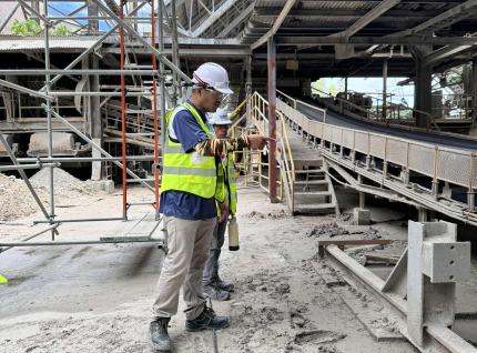
All Kinds of Surveys and Mapping encompass a comprehensive range of geospatial and land measurement services designed to support projects across construction, engineering, environmental, and resource sectors. Our surveying approach ensures precise data collection, boundary accuracy, and detailed terrain visualization to provide a reliable foundation for every stage of project planning and execution.
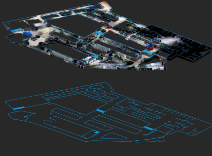
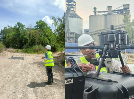
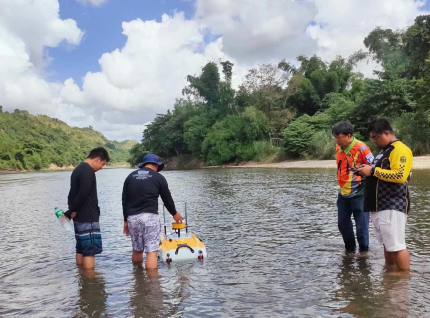
Innovative Surveying Solutions deliver cutting-edge geospatial services that redefine how projects are measured, analyzed, and managed. Our company integrates drone mapping, LiDAR scanning, GNSS positioning, and 3D modeling to provide highly accurate and detailed spatial data for any terrain or structure.
Through continuous innovation and advanced geosolutions, we empower clients to make informed decisions, reduce operational risks, and achieve outstanding project outcomes built on a foundation of accuracy, reliability, and insight.
Work with a surveying team you can trust.
Whether it’s land development, infrastructure, or engineering projects, our team is ready to provide precise and reliable geodetic surveying services.
Contact Us Now