
Services
ABOUT
Engineering Surveys
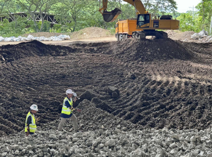
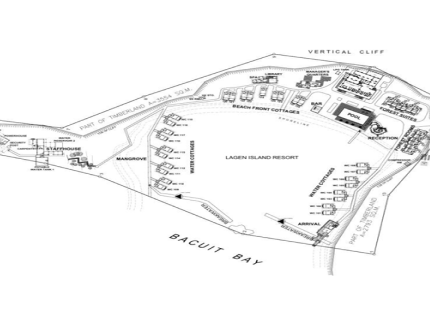
Engineering Surveys provide precise spatial data and structural measurements essential for the planning, design, construction, and maintenance of engineering projects. These surveys ensure that every infrastructure component whether roads, bridges, buildings, or utilities and should be positioned, aligned, and constructed according to exact specifications and safety standards.
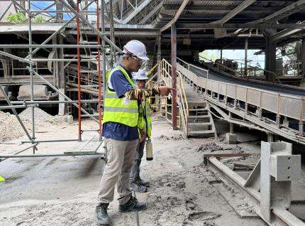
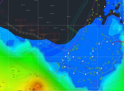
We integrate advanced total stations, GNSS technology, 3D laser scanning, and digital modeling to deliver highly accurate survey data for engineers and project managers. Our expertise supports every project phase—from pre-construction layout to post-construction validation—ensuring precision, efficiency, and compliance.
Through continuous monitoring and precise geospatial control, we help clients minimize design errors, reduce construction rework, and ensure long-term structural stability in every project.
Work with a surveying team you can trust.
Whether it’s land development, infrastructure, or engineering projects, our team is ready to provide precise and reliable geodetic surveying services.
Contact Us Now